
 Bronze
Abiental Geospace
From Space to Nature
Rodeio, Santa Catarina
Startup
Description
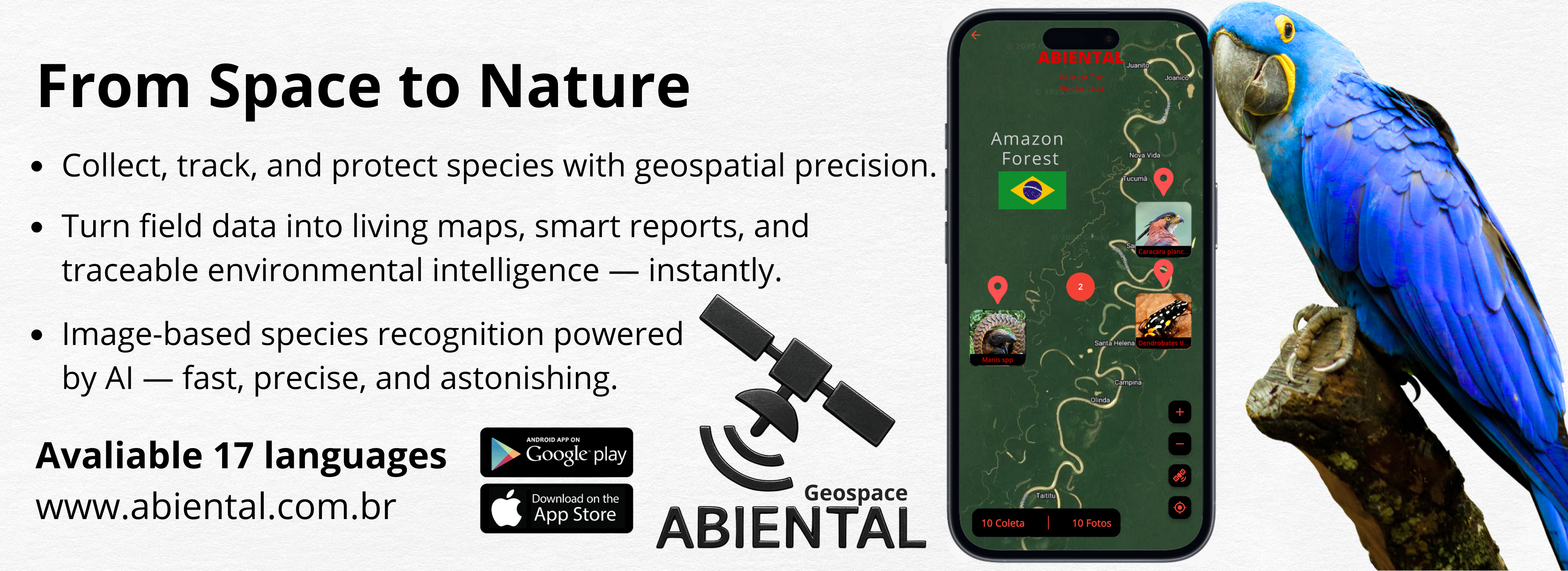
Environmental researchers still rely on pen-and-paper and manual data entry, which leads to long post-processing, delays insights, and invites errors. Abiental transforms every field mission into a live geospatial workflow: as soon as you finish a collection, your phone builds interactive charts and export-ready reports—no pen required. Each entry gets satellite coordinates, a ULID tag, and cloud sync—even offline. While you collect, tap an advanced taxonomic database; find an unknown species? Launch BioVision AI to ID plants and animals from photos in seconds, with names, taxonomy, and key data. More than satellites or AI alone, it’s orbital communication and smart field capture merged into a living digital ecosystem where every data point is undeniable evidence. Available in 17 languages, Abiental unites researchers, field teams, and agencies on a fully traceable platform. Georeferenced alerts, live maps, and an unalterable history make it the ultimate tool to safeguard our planet. We’re now seeking partnerships with space agencies and international programs to extend this innovation to new biomes.
Technologies


Application fields


Space activities
-
-