
 Silver
New in the Catalog
Silver
New in the Catalog
ORBTY Geosolutions
We use satellite imagery to monitor and protect aquatic environments.
São José dos Campos, São Paulo
Startup
Description
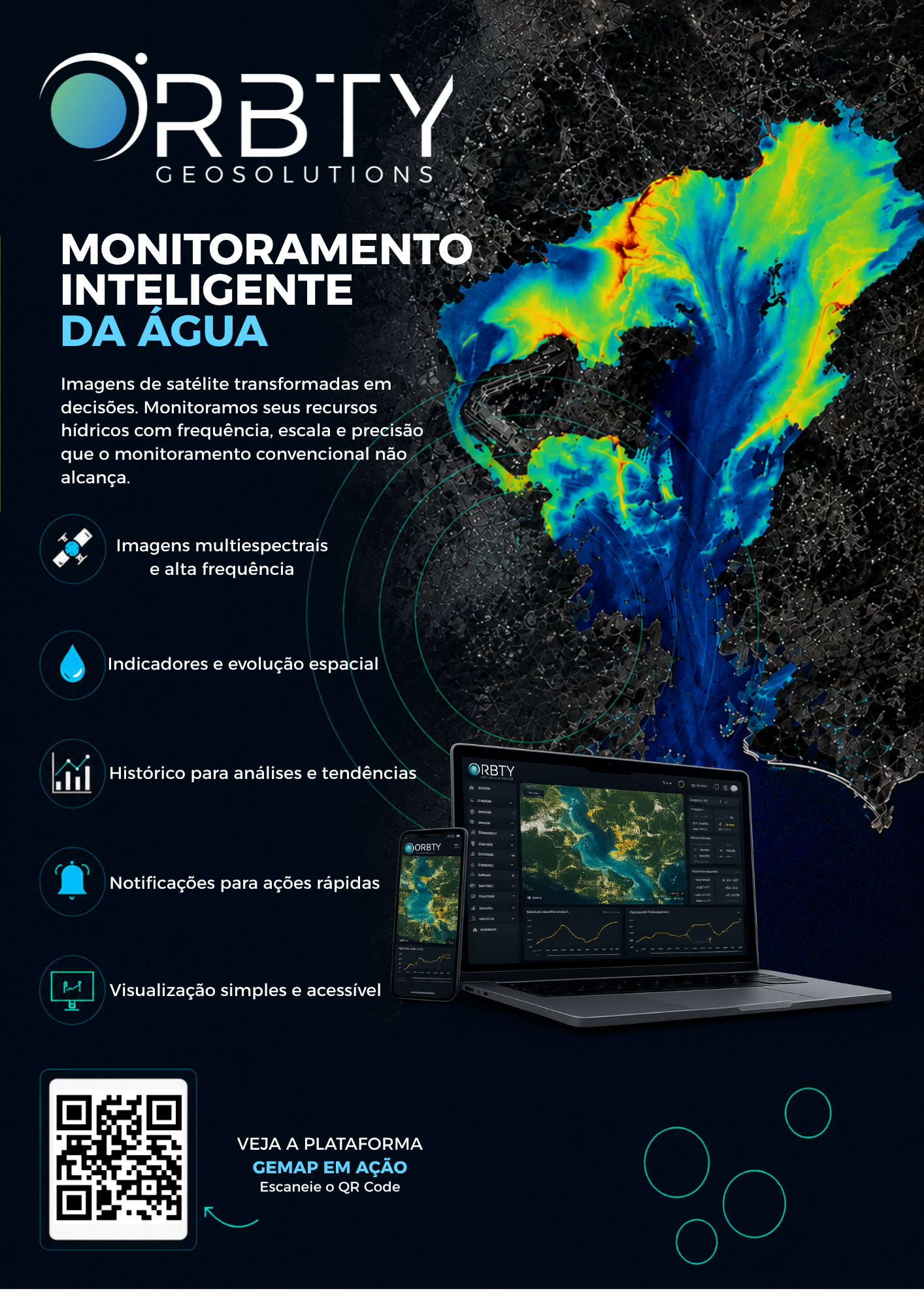
ORBTY Geosolutions is a geotechnology company that applies artificial intelligence to satellite data for water and environmental monitoring. We use orbital imagery from the Sentinel-2, Sentinel-3, PlanetScope, and Copernicus satellites to generate information on water and environmental quality, reducing the need for field campaigns and helping industries and public agencies anticipate regulatory liabilities.
Our main product is GEMAP, a platform that processes remote sensing data to calculate indicators such as CDOM, chlorophyll-a, turbidity, and the presence of macrophytes in rivers and reservoirs. We serve companies in the pulp and paper, mining, and water utility sectors, as well as public agencies responsible for managing water resources.
Our services include continuous satellite-based monitoring of water bodies, technical reports for regulatory compliance (such as CONAMA 357), historical analysis of orbital imagery to support environmental decision-making, and consulting in remote sensing applied to water resource management.
We have a technical team made up of PhDs and remote sensing specialists, along with cloud-based processing, which allows us to deliver high-precision environmental information at a much lower cost than traditional field monitoring, broadening access to space-based technology for Brazil's industrial and public sectors.
Our main product is GEMAP, a platform that processes remote sensing data to calculate indicators such as CDOM, chlorophyll-a, turbidity, and the presence of macrophytes in rivers and reservoirs. We serve companies in the pulp and paper, mining, and water utility sectors, as well as public agencies responsible for managing water resources.
Our services include continuous satellite-based monitoring of water bodies, technical reports for regulatory compliance (such as CONAMA 357), historical analysis of orbital imagery to support environmental decision-making, and consulting in remote sensing applied to water resource management.
We have a technical team made up of PhDs and remote sensing specialists, along with cloud-based processing, which allows us to deliver high-precision environmental information at a much lower cost than traditional field monitoring, broadening access to space-based technology for Brazil's industrial and public sectors.
Technologies

Application fields

Space activities
- Does not apply